Documentation Index
Fetch the complete documentation index at: https://docs.pixxel.space/llms.txt
Use this file to discover all available pages before exploring further.
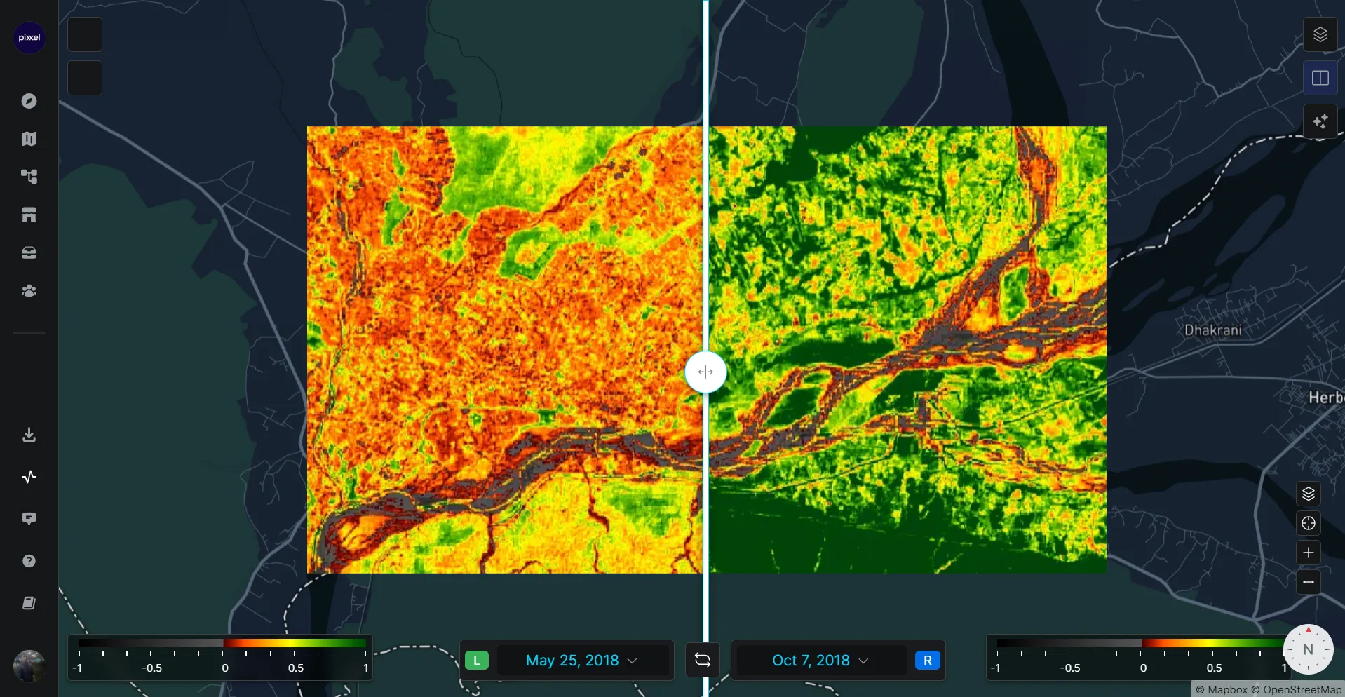
EVI2-2 is a commonly used remote sensing tool for quantifying vegetation cover and health in digital imagery. It takes into account two key spectral indices, including the 2-dimensional spectral index (2SI), which is a measure of the relative abundance of red and blue light in the illuminated to-be-classified area, and the Simple Layered Perceptron (SLP), a machine learning technique that uses the 2SI and other spectral indices as input features to predict landscape vegetation classes. Together, these indices provide a powerful tool for analyzing and understanding vegetation cover on the Earth’s surface
Sentinel = 2.5*((B08-B04)/(B08+2.4 *B04+1))Landsat 8-9 = 2.5*((nir08-red)/(nir08+2.4 *red+1))Firefly = 2.5*((B118-B062)/(B118+2.4 *B062+1))