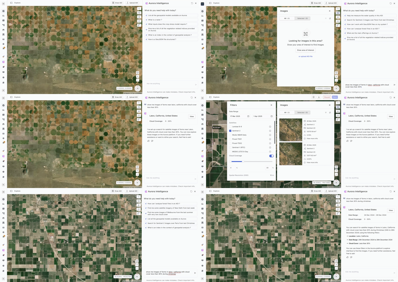
Aurora Intelligence is a cutting-edge natural language interface designed to make geospatial analysis seamless and intuitive. With AI-driven automation, users can effortlessly search for imagery, generate visualizations, receive model recommendations, and streamline workflows—all through simple conversational commands.

Key Capabilities
- Intelligent Image Search – No more manual searching. Just ask, and AI will retrieve the most relevant satellite imagery.
- Advanced Visualizations – Instantly generate key indices like NDVI or customize visualizations based on specific use cases.
- Model Recommendations – Get AI-powered suggestions for the most suitable analytical models tailored to your needs.
- Assisted Workflow Creation – Receive AI guidance in building workflows for streamlined image analysis.
- Guidance & FAQs – Aurora Intelligence serves as your virtual assistant, providing insights, answering queries, and simplifying navigation across the Aurora platform.
Revolutionizing Geospatial Analysis
Aurora Intelligence is designed to eliminate complexity in satellite image analysis. Instead of manually adjusting parameters or selecting tools, users can simply converse with AI, significantly reducing the time and effort needed for analysis. By enhancing accessibility and automation, Aurora Intelligence transforms geospatial data interpretation—empowering users of all skill levels to extract meaningful insights with ease.