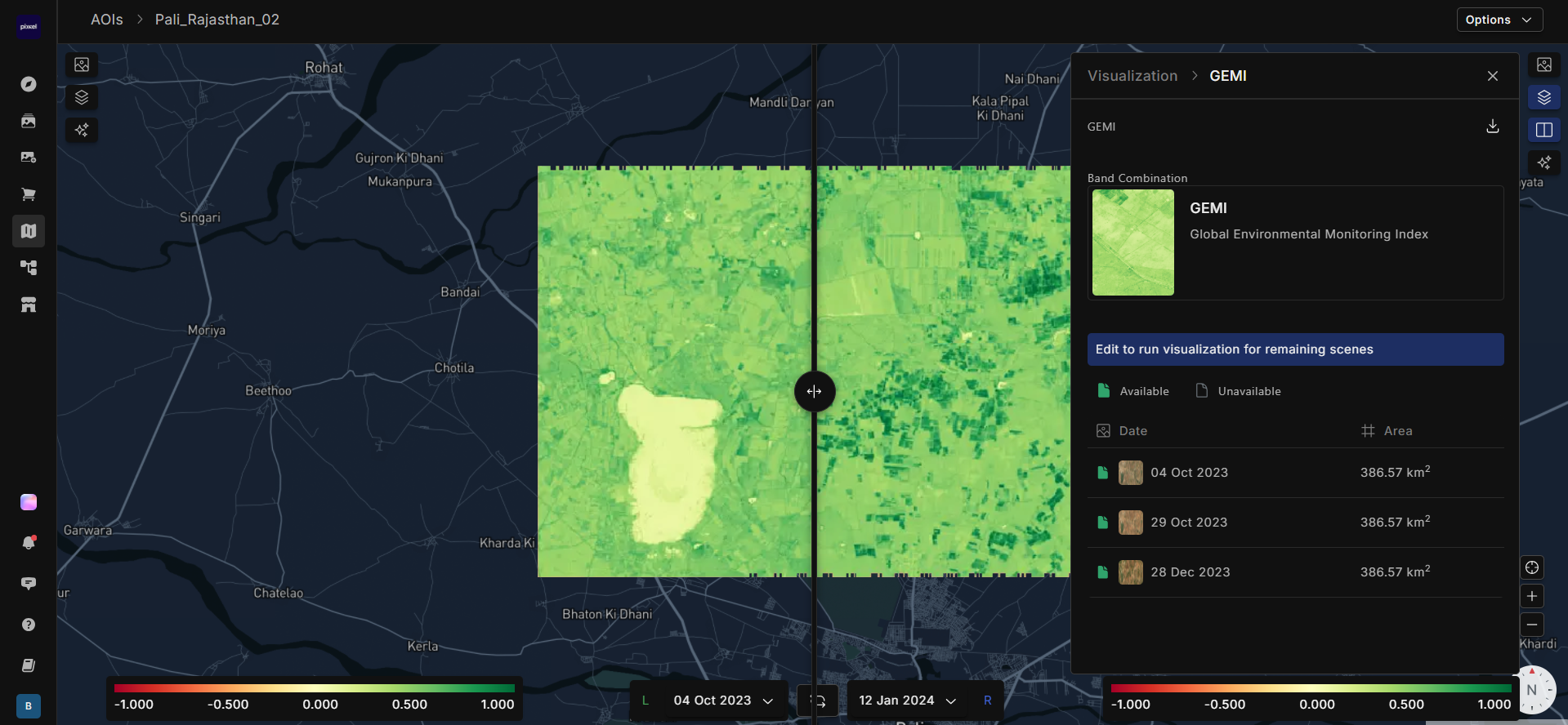
Global Environmental Monitoring Index (GEMI) is used to assess vegetation health and surface conditions by analyzing the reflectance of light from the Earth’s surface. It is less sensitive to atmospheric changes, making it reliable under different weather conditions. GEMI values range from -1 to +1, where higher values indicate denser and healthier vegetation, while lower values suggest sparse or stressed vegetation. It is useful for monitoring vegetation density, productivity, and environmental changes over time.
Firefly = ((2 * ((B118 ** 2) - (B062 ** 2)) + (1.5 * B118) + (0.5 * B062)) / (B118 + B062 + 0.5) ) * ((1 - 0.25 * (2 * ((B118 ** 2 )- (B062 ** 2)) + (1.5 * B118) + (0.5 * B062)) / (B118 + B062 + 0.5)) ) - ((B062 - 0.125) / (1 - B062))
Sentinel = ((2 * ((B08 ** 2) - (B04 ** 2)) + (1.5 * B08) + (0.5 * B04)) / (B08 + B04 + 0.5) ) * ((1 - 0.25 * (2 * ((B08 ** 2 )- (B04 ** 2)) + (1.5 * B08) + (0.5 * B04)) / (B08 + B04 + 0.5)) ) - ((B04 - 0.125) / (1 - B04))
Landsat 8-9 = ((2 * ((nir08 ** 2) - (red ** 2)) + (1.5 * nir08) + (0.5 * red)) / (nir08 + red + 0.5) ) * ((1 - 0.25 * (2 * ((nir08 ** 2 )- (red ** 2)) + (1.5 * nir08) + (0.5 * red)) / (nir08 + red + 0.5)) ) - ((red - 0.125) / (1 - red))
