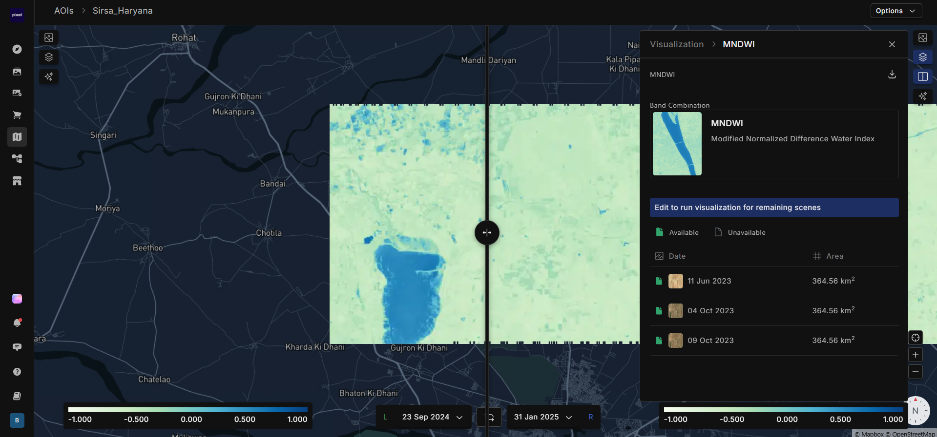
Modified Normalized Difference Water Index (MNDWI) is used to detect and map water bodies by comparing the reflectance of green light and shortwave infrared light. It enhances the visibility of water features while reducing noise from built-up land and vegetation. MNDWI values range from -1 to +1, where higher values indicate the presence of water bodies such as lakes, rivers, and wetlands, while lower values indicate land areas, including vegetation and urban structures. It is useful for water resource management, flood mapping, and monitoring changes in water bodies over time.
Sentinel = (B03-B11)/(B03+B11)Landsat 8-9 = (green-swir16)/(green+swir16)
