The ability to task Hyperspectral Images of our Firefly satellites provide the users with the ability to request satellite imagery for a specific location and time, ensuring that the most up-to-date data is captured. This service allows for flexibility in scheduling and guarantees imagery collection under defined conditions. The details of tasking image pricing is given below:
1. Base Pricing
Tasking images are priced per square kilometer, and costs vary based on the spectral band selected:- VNIR (Visible Near Infrared): $8 per km²
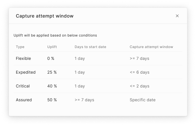
2. Capture Attempt Window
Tasking images are categorized based on urgency and scheduling flexibility. Currently we support only one option:
- Regular Tasking: Provides a capture window of minimum 14 days, there is no additional cost uplift.
3. Cloud Cover Impact
To ensure the best image clarity, pricing is affected by cloud cover conditions:- Up to 10% cloud cover: 15% uplift on base pricing.
- Up to 20% cloud cover: No uplift.

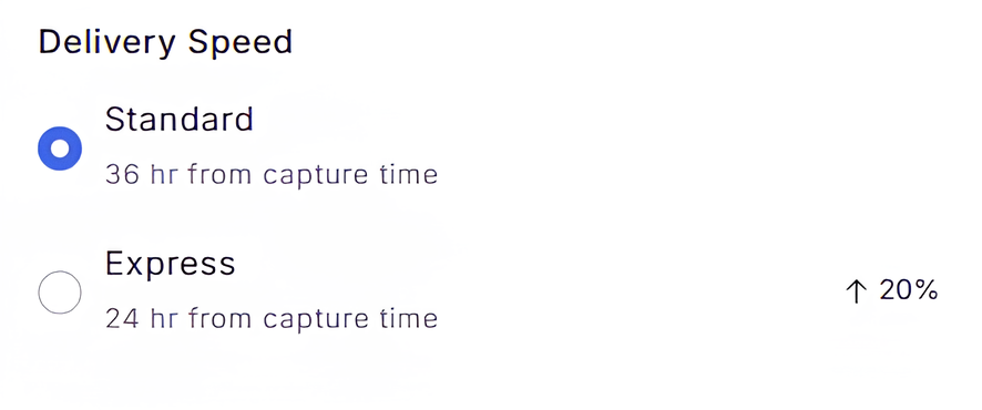
4. Delivery Speed Pricing
Tasking images can be delivered at different speeds depending on urgency:- Standard delivery - 14 days from capture time: No uplift.
- Express delivery - 24 hours from capture time(Coming soon): 20% uplift.

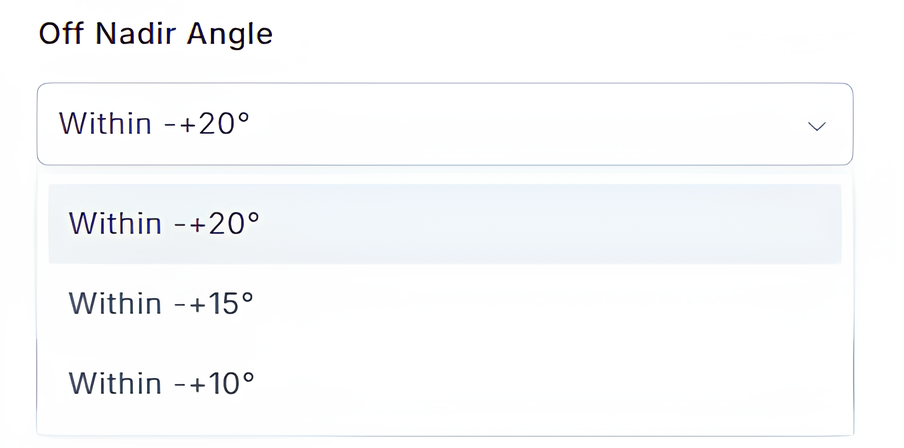
5. Off-Nadir Collection
The default off-nadir collection angle is within 20 degrees, with no additional uplift applied.
Requested Off-Nadir angles are considered as preferences and may not always be met.
This pricing structure ensures that users receive the most recent and customized satellite imagery with flexible pricing and delivery options.