Documentation Index
Fetch the complete documentation index at: https://docs.pixxel.space/llms.txt
Use this file to discover all available pages before exploring further.
The Segmentation model is capable of segmenting all visible objects of interest in satellite imagery. It is compatible with any satellite imagery that has RGB bands including Sentinel-2, Landsat, and MODIS.With that said, note that:
- The model detects objects but does not classify them.
- The model performance is best when all objects of interest are clearly visible and not too small.
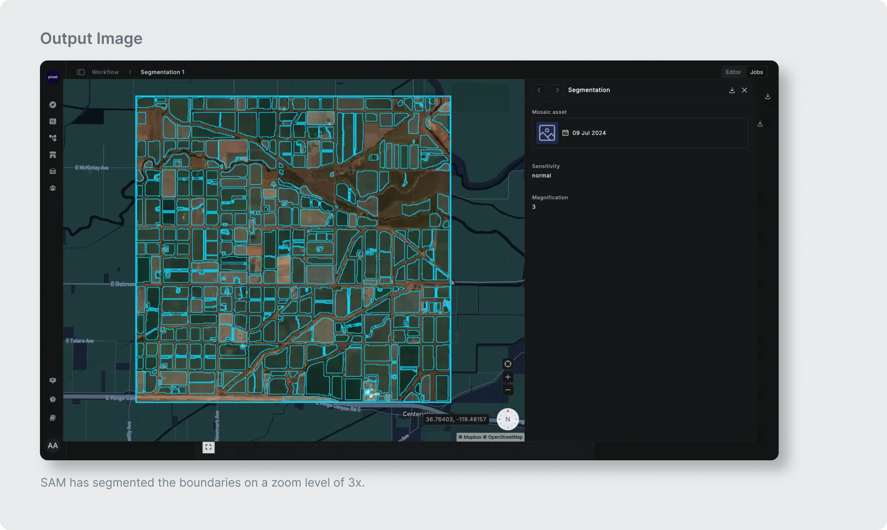
- Your source imagery resolution may be too coarse resulting in your objects of interest. For instance, some small farms in India might appear as objects covering less than 10 x 10 pixels. In that case, you may want to increase the zoom factor to greater than 3 when running the model so that the imagery is upscaled before running through the model resulting in much better performance.